Module 2
| Site: | MoodleHUB.ca 🍁 |
| Course: | Math 20-1 SS |
| Book: | Module 2 |
| Printed by: | Guest user |
| Date: | Thursday, 4 December 2025, 2:12 AM |
Description
Created by IMSreader
1. Module 2
Module 2 Introduction
© Pakhnyushchyy/13356015/Fotolia
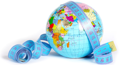
Over 2000 years ago, Eratosthenes of Cyrene (ca. 276–195 BC) used trigonometry to estimate the diameter of Earth. Today’s accepted value is approximately 40 000 km. Eratosthenes of Cyrene’s value was between 39 690 km and 46 620 km—not bad for someone without a calculator, satellite imagery, laser rangefinder, or even algebraic symbols!
Trigonometry is the study of triangles, including the relationships between side lengths and angles. In previous math courses your study was limited to right triangles (triangles that contain a 90° angle). In Mathematics 20-1, you will extend your skills to deal with oblique triangles (triangles that do not contain a 90° angle). You will also learn about how to use the primary trigonometric ratios (cosine, sine, and tangent) for angles greater than 90° (but less than 360°).
Although trigonometry is useful in many different areas, such as astronomy, architecture, and computer graphics, this module will focus on using trigonometry to measure distances and angles indirectly.
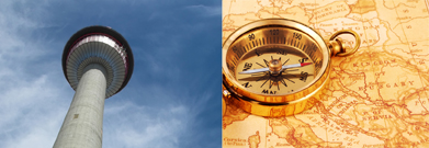
Calgary tower: © Jeff/3625971/Fotolia; map: © Dana S. Rothstein/192071/Fotolia
Distances and angles are measured indirectly when it is not possible or feasible to measure them directly. For example, the following distances can be measured indirectly:
- the height of a building
-
long distances for map-making using a process called triangulation, which in turn uses trigonometry
In this module you will investigate the following question:
- How can trigonometry be used to measure distances indirectly?
Although triangulation for map making was used as early as 2500 years ago, it was also used as recently as the 1960s. Prior to the advent of the global positioning system (GPS) in 1973, one of the main techniques for determining distances in map-making was triangulation.
For instance, triangulation was used to create an accurate map of Britain during the Principal Triangulation of Britain (between 1783 and 1853), and again during the Retriangulation of Great Britain (between 1936 and 1962). In both cases, distances and angles were measured and trigonometry was used to fill in a detailed map of the country.
To investigate the module question, you will focus on the lessons and questions listed in the table.
Lesson |
Topic |
Lesson Questions |
1 |
Foundations of Trigonometry |
How can you use cosine, sine, and tangent for angles greater than 90°? |
| How does the definition of cosine, sine, and tangent for angles greater than 90° affect the solution of equations? | ||
2 |
Solving Linear Trigonometric Equations |
How does circle symmetry help solve equations of the form sin θ = k, where −1 |
3 |
Trigonometry Without Technology |
How can the cosine, sine, or tangent of an angle be determined without technology? |
4 |
The Sine Law |
How can angles and sides in any triangle—oblique and right—be found? |
| How does your knowledge of solutions to equations of the form sin θ = k (from Lessons 1 and 2) affect solutions using the sine law? | ||
5 |
The Cosine Law |
How can angles and sides in any triangle—oblique and right—be found? |
| How do you determine when to use the sine law and when to use the cosine law? |
At the end of this module you will complete Module 2 Project: Mars Rover Simulation. You will use trigonometry to help the Mars Rover avoid obstacles. This is a great time to read through Module 2 Project: Mars Rover Simulation to get an idea of what you will be able to do by the end of Module 2.